Preliminary Flood Insurance Rate Maps
FEMA Preliminary Flood Maps Issued
FEMA has issued new Preliminary Flood Insurance Rate Maps and a Flood Insurance Study of the City of Baltimore! 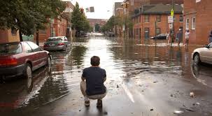
The Department of Planning is a repository for all FEMA Map products for the City of Baltimore. These products identify regulatory floodplains and floodways with computed base flood elevations.
Email bruna.attila@baltimorecity.gov for appeals and upcoming public hearings on new maps, map changes, development guidelines, or Map Information Services.
Appeals Process
Scientific Resolution Panel Fact Sheet
Data Required for Property Owners
Map & Data Links
Maryland Department of Environment Community Information
FEMA Region III Changes Since Last FIRM (Interactive web application)
Preliminary FEMA Map 2018 Viewing Options
Document Links
FEMA Dashboard for Baltimore City
Preliminary Summary of Map Actions
Flood Hazard Mapping Fact Sheet