Green Network: Greenway Trails
Related Links:
- Click here to see the Baltimore Green Network Home Page for general information
- Click here to review the Green Network Plan
- Click here to learn about the Green Network and Clean Corps
- Click here to subscribe to the Baltimore Green Network's email list to receive news & updates on our programs.
Greenway Trails
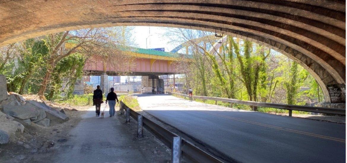
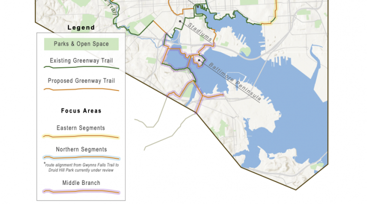
The Green Network Plan recommends creating a system of “Greenway Trails” to connect residents to destinations within and beyond their immediate neighborhoods. The plan envisions a holistic, citywide system of green “nodes” – places to rest and recreate – and the “corridors” that connect neighborhoods with parks and other green spaces, schools, employment, and goods and services. The centerpiece is a 35-mile loop that will integrate Baltimore’s existing stream valley trails (Gwynns Falls/Middle Branch Trail, Jones Falls Trail, and Herring Run Trail) and the Inner Harbor Promenade by constructing new trail segments between these assets.
The new additions to the City's trail network, currently in various stages of planning, will provide key east-west connections and north-south thorugh East Baltimore to "close the loop" between Baltimore's existing trails. These are:
- "The Northern Segments" - From Gwynns Falls/Leakin Park through Central West Baltimore to Druid Park Lake Drive, through Druid Hill Park, Wyman Park, and Johns Hopkins University Homewood Campus to E. 33rd Street, following E. 33rd Street to the existing walking/bicycle paths at Lake Montebello, crossing Harford Road into Herring Run Park and joining the Herring Run Trail.
- BGE Trail - From the southeastern end of the Herring Run Trail following BGE's electrical transmission line corridor to East Federal Street near Erdman Avenue.
- Norfolk Southern Railroad Corridor Trail - From East Federal Street and the BGE trailhead south to Haven and Dillon Streets, where it runs through the Crossroads and Canton development to Conkling and Boston Streets.
- Boston Street Connector - Following Boston Street from Conkling Street to S. Ellwood Ave., where it will enter Canton Waterfront Park and join the Inner Harbor Promenade.
In addition to these major segments, the network will grow over time with the addition of smaller loops and spurs, helping to create a healthier and more equitable Baltimore by making it easier for residents to reach the places they wish to go.
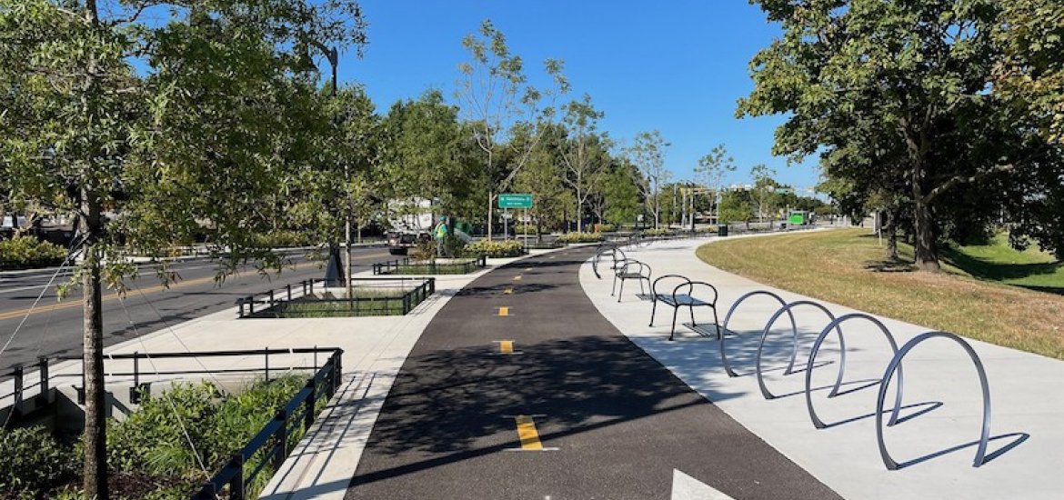
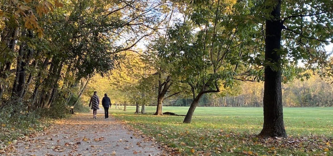
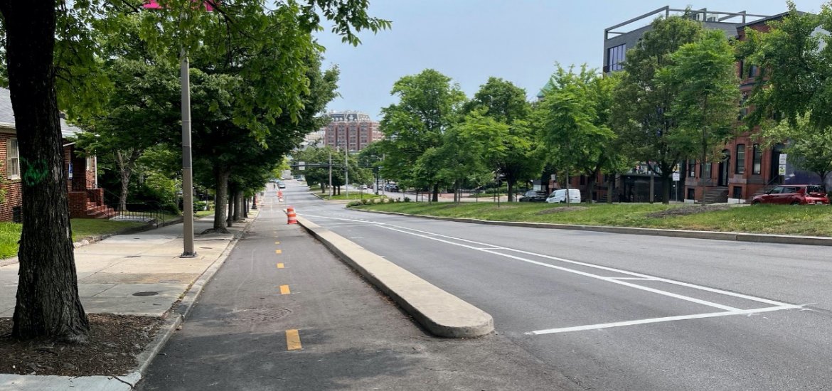
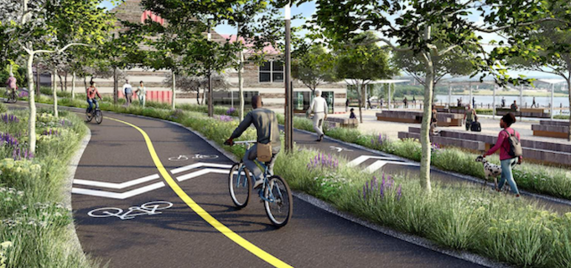
Greenway Trails are more than bike lanes. The trail segments will provide a safe and easy alternative to automobile travel via “shared-use paths” that accommodate a variety of users moving at different speeds. At slower speeds, the trails welcome walkers, joggers, families pushing strollers, older adults, or people who use mobility devices. By having adequate widths and, wherever possible, separating lower- and higher-speed users, the trails will be comfortable for people moving at a leisurely pace and for others riding on bicycles or scooters, or training for a marathon.
The Greenway Trails initiative benefits from widespread support, led in part by the Baltimore Greenway Coalition and spearheaded by Rails-to-Trails Conservancy (RTC), a national not-for-profit that adopted Baltimore for support under its Trail Nation program. Since 2016, RTC participated in over 100 community meetings, led more than 20 community tours, and tabled at community events across the city to promote Greenway Trails. In addition, RTC has secured grants on its own, collaborated with the City to fund design and construction of key segments of the trail network, and assisted with purchasing properties and acquiring easements to complete the network.
Click here to return to the Green Network Home Page (link)
